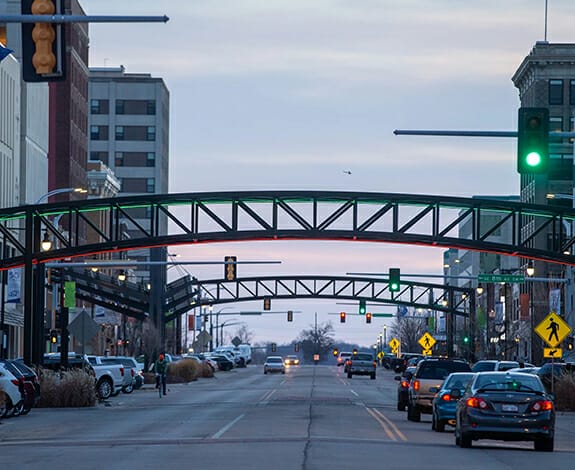
Bio-One of Topeka services all types of trauma, distressed property, and biohazard scenes in communities throughout Riley County Area. We partner with local authorities, communities, emergency services personnel, victim services groups, hoarding task forces, apartment complexes, insurance companies and others to provide the most efficient and superior service possible.
We are your Riley County crime scene cleaners dedicated to assisting law enforcement, public service agencies and property owners/managers in restoring property that has been contaminated as a result of crime, disaster or misuse.
Riley County (standard abbreviation: RL) is a county located in the U.S. state of Kansas. As of the 2010 census, the population was 71,115. The largest city and county seat is Manhattan.
Riley County is home to two of Kansas' largest employers: Fort Riley and Kansas State University.
History
Riley County, named for Mexican–American War general Bennet Riley, was on the western edge of the 33 original counties established by the Kansas Territorial Legislature in August 1855. For organizational purposes, Riley County initially had attached to it Geary County and all land west of Riley County, across Kansas Territory into present-day Colorado.
The first Territorial Capital of Kansas Territory was located in the boundaries of Riley County, in the former town of Pawnee. The site now falls within the boundaries of Fort Riley, a U.S. Army post.
Manhattan was selected as county seat in contentious fashion. In late 1857, an election was held to select the county seat, with Ogden prevailing. However, Manhattanites suspected election fraud, and were eventually able to prove that a number of votes were illegally cast. Sheriff David A. Butterfield was forced to secure the county's books and records for Manhattan, and Manhattan was finally officially declared the county seat in 1858.
Demographics
As of the census of 2000, there were 62,843 people, 22,137 households, and 12,263 families residing in the county. The population density was 103 people per square mile (40/km²). There were 23,397 housing units at an average density of 38 per square mile (15/km²). The racial makeup of the county was 84.78% White, 6.88% Black or African American, 0.63% Native American, 3.22% Asian, 0.17% Pacific Islander, 1.89% from other races, and 2.43% from two or more races. 4.57% of the population were Hispanic or Latino of any race.
There were 22,137 households out of which 27.80% had children under the age of 18 living with them, 46.20% were married couples living together, 6.80% had a female householder with no husband present, and 44.60% were non-families. 27.50% of all households were made up of individuals and 6.10% had someone living alone who was 65 years of age or older. The average household size was 2.42 and the average family size was 2.99.